Article written by OhanaUnited – Activity supported by Wikimedia Canada’s micro grant program
Building upon my previous experience of taking photographs in the Canadian territories and taking advantage of my existing travel plans to Nunavut in late August to early September, I requested grant funding from Wikimedia Canada to support creating free knowledge about Indigenous culture, language, travel and diversity of topics of Rankin Inlet and Iqaluit, Nunavut in Wikimedia Commons. While the primary focus of this activity is to increase the number and diversity of freely-licensed photographs in these predominantly Inuit communities, which currently have a gap in Wikimedia Commons, other Wikimedia sister projects such as Wikipedia, Wikidata and Wikivoyage also benefit from my updates and photographs. Serendipitously, my workplace required me to travel back to Rankin Inlet for work two weeks afterwards, and I was able to capture additional photographs that I missed during my initial trip.

Impacts
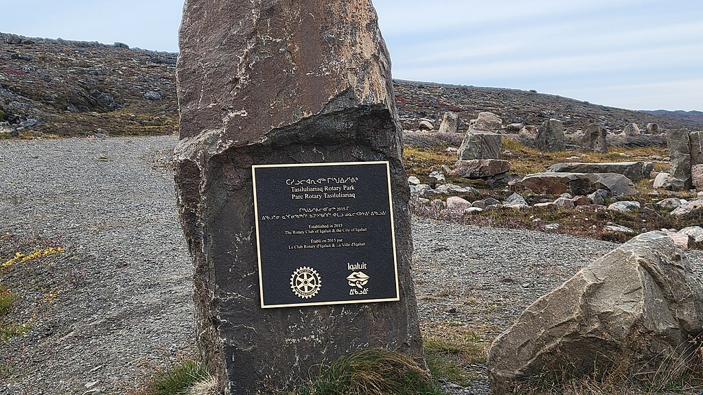
I uploaded 325 images from Nunavut to Wikimedia Commons under Creative Commons license and properly categorized these images. Six Commons categories were created to group and organize some of these new photos. These new categories are Iqalugaarjuup Nunanga Territorial Park (a park just north of Rankin Inlet), Sanikiluaq baskets (round baskets made by Inuit in southern Hudson Bay), hotels in Rankin Inlet, hotels in Iqaluit, Inuinnaqtun language (a language similar to Inuktitut that is primarily spoken in western part of Nunavut) and quadrilingual English-French-Inuktitut-Inuinnaqtun signs in Canada (commonly observed in government buildings and government signs in Nunavut). Three photos of Nunavut politicians were also uploaded as they were present at the work event that I attended. This includes the current senator representing Nunavut, Nancy Karetak-Lindell.
Eleven English Wikipedia pages related to Nunavut or Inuit were improved. This includes adding contents, images, references and updating outdated information. One French Wikipedia and one Chinese Wikipedia page were also improved by adding Nunavut images that I took into their respective articles.
90 edits were made in Wikidata. Most of these edits are related to geographical entries, such as adding photos and refining descriptions. On a few occasions, I corrected the location coordinates of these Wikidata items based on my photographs.
13 Wikivoyage pages were improved. Ten English Wikivoyage destination pages were improved (Arviat, Baffin Island, Gjoa Haven, Iqaluit, Nunavik, Nunavut, Ottawa, Pangnirtung, Rankin Inlet and Winnipeg). I improved these pages such as ways to get in, location of visitor centre, restaurants, accommodation cost, alcohol restrictions in some towns, taxi services and attractions. I took photos for many Rankin Inlet and Iqaluit hotels and bed & breakfasts. In addition, the Inuktitut phrasebook page on English Wikivoyage was expanded with 15 new entries, with most of them animal and plant names in Inuktitut. These phrases form an integral part of the Inuit culture. Two French Wikivoyage pages (Rankin Inlet and Guide linguistique inuktitut) were also improved.
My activities increased the linguistic diversity, coverage of Nunavut and Indigenous contents in different languages of Wikipedias, Wikivoyages, Wikidata and Wikimedia Commons.

Reflection
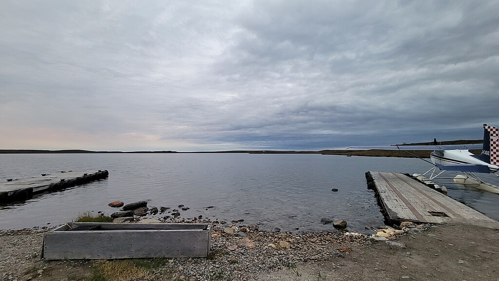
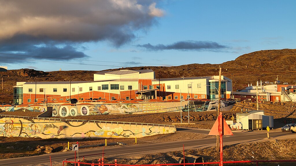
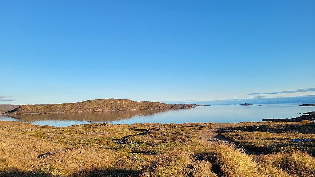
Learning from my experience from the previous photo activity in the north in February, the extra day of car rental proved to be very useful, and I was able to take more time to take photos in Iqaluit on subjects that most tourists do not focus on (e.g. post office, grocery store, correctional facility, weather station). The warmer weather and fall season also allowed much longer time to take photos during daytime and in comfortable weather. I have also started taking aerial photographs on the flight along the way, which captured an additional Nunavut community, Whale Cove, and its nearby geographical features.
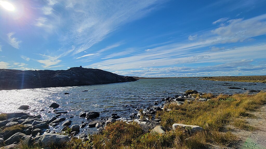
With a local guiding me in Rankin Inlet, I was able to capture many off-road photographs and the first freely licensed image for a Nunavut protected area, the Iqalugaarjuup Nunanga Territorial Park.
Unfortunately, boat activity in and around Rankin Inlet did not occur due to strong winds while I was in the community during the first trip. This reduced the number of photos taken in coastal and marine environment (e.g. islands, water channels, traditional Indigenous harvesting). If I have an opportunity to return to Rankin Inlet in the future, the weather is suitable and a local guide being available, I will try to request again for the boat activity as there are very few photos taken in Hudson Bay from the surface.